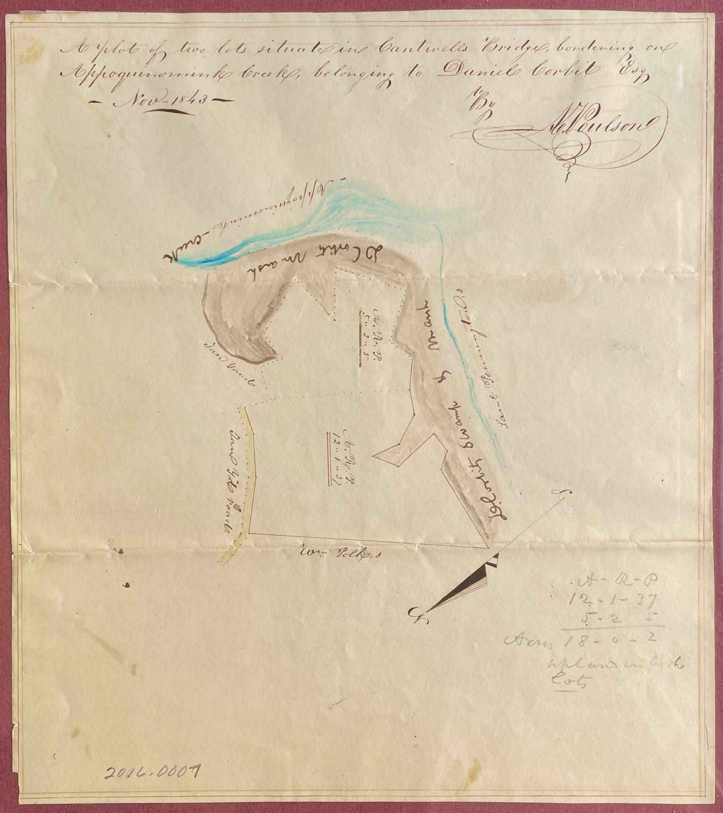
Survey or plot plan
Odessa, Delaware
November 1843
Maker
A. Poulson (dates unknown)
Measurements
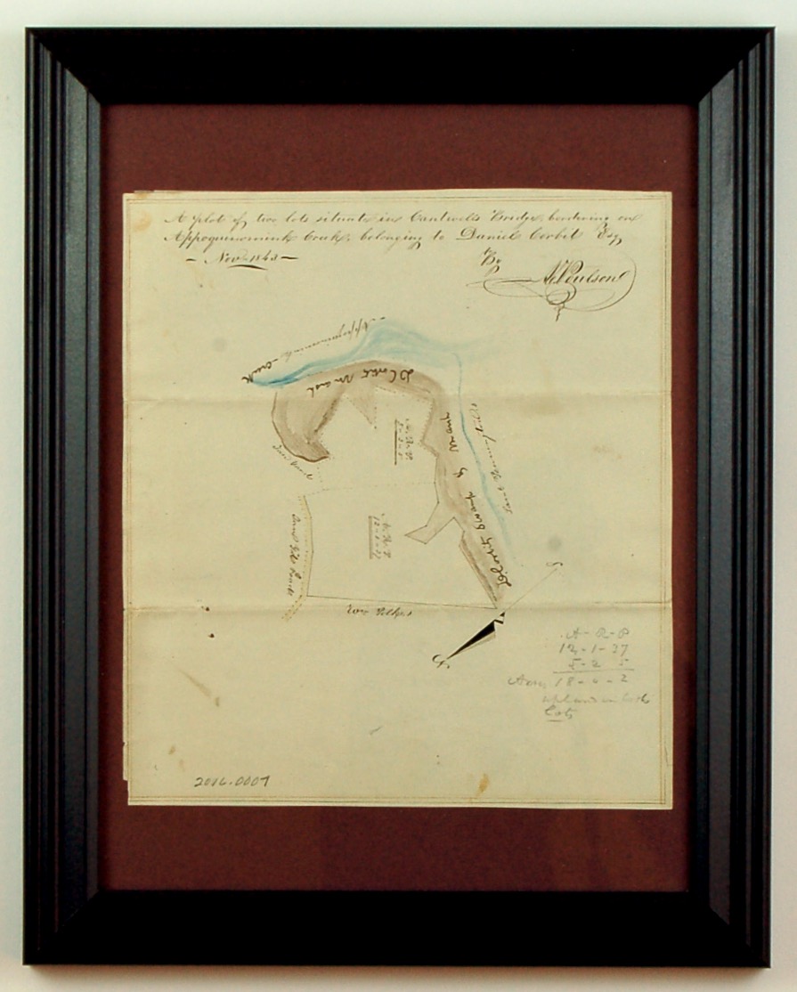
Frame: 15 in x 12 in x 5/8 in; sight, 9-7/8 in x 8-7/8 in
Materials
Ink, graphite, and watercolor on paper
Credit Line
Historic Odessa Foundation, gift of H. Rodney Sharp descendants
Accession Number
2016.7
Inscription
“A plot of two lots situate in Cantwells Bridge brodering on / Appoquinimink Creek, belonging to Daniel Corbit Esq / Nov 1843 / By / A. Poulson”
Condition Notes
The paper is beginning to tear along a fold.
Provenance
H. Rodney Sharp probably acquired this survey in 1938 along with other manuscripts and documents associated with the Corbit House, which he purchased that year.
Comments
This plot plan or survey shows the "D. Corbit Swamp and Marsh" and other marshlands that formed the edges of the Appoquinimink River. It also identifies the Corbit tanyards and "Tan Yd Road," as well as the boundaries of William Polk's adjoining property. He had acquired the house and lot from David Wilson Jr. at the latter's bankruptcy in 1829. The reason for this 1843 survey is not known.